Targeted drinking water protection
instead of the watering can principle.
Targeted protection instead of blanket distribution
Catchment areas are heterogeneous.
Nitrate risks arise spatially – often in just a few sub-areas.
Those who plan using average values implement measures across the board.
This leads to inefficient use of resources, low impact, and unnecessary tensions with businesses.
1. Why the "watering can" approach won't solve nitrate problems
- Nitrate risks arise in spatially concentrated areas
- Not every surface contributes equally to the load.
- Measures have a location-dependent effect.
- Blanket protection programs distribute funds instead of achieving results
Protection requires differentiation.
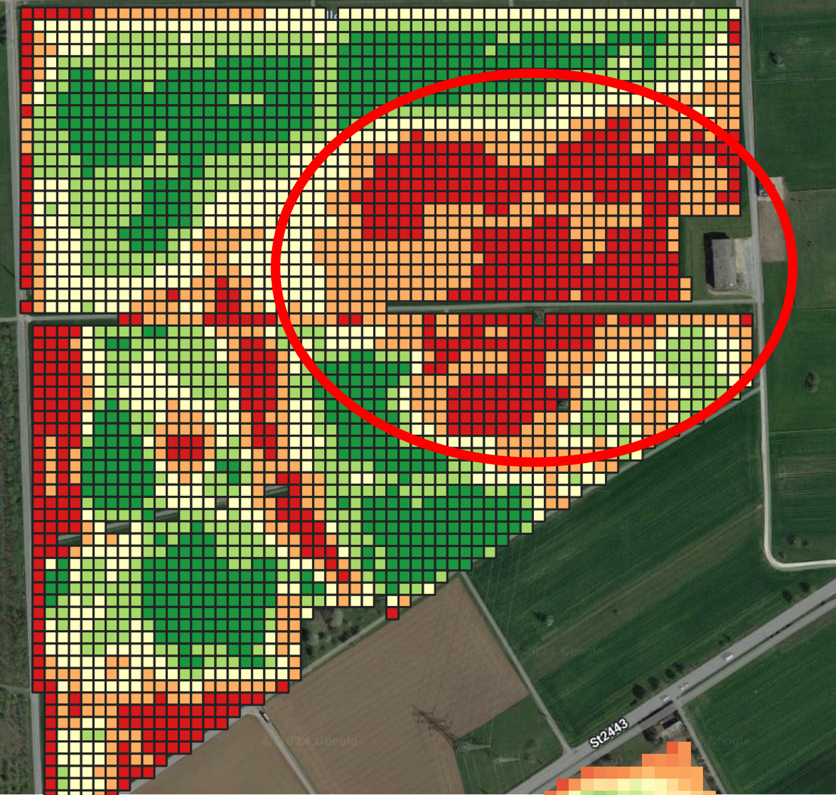
2. How we specifically identify nitrate risks
YieldXperts analyzes catchment areas using a grid-based and data-driven approach.
We combine:
- Satellite and remote sensing data
- Soil data and yield information
- multi-year validation on practice premises
- scientifically sound risk and scenario models
The result:
Targeted measures instead of blanket measures - targeted by location
3. What's improved for your catchment area
- Identification of nitrate hot spots
- Prioritizing effective action areas
- more efficient use of funding
- Higher acceptance among agricultural businesses
- reliable decision-making bases
4. From risk analysis to implementation
- Hotspot identification
- Prioritization of measures
- Cooperation with businesses (site-specific N-strategies)
- Monitoring & Impact Assessment
Drinking water protection reimagined
Compensation payments and Protective measures are based on real site conditions, not based on flat rates. Measures are adapted to the natural conditions and thus have maximum effect on water, soil and the environment.
The "watering can" approach has not solved the nitrate problem..
Now targeted, location-specific measures are needed.
OUR ANALYSES
Site-specific groundwater protection
Our analyses show where agricultural use leads to increased nitrogen loss risks – and where it does not.
Instead of blanket protective measures, we differentiate areas according to location, yield potential, and use. This makes groundwater protection effective, targeted, and technically justifiable.
We combine satellite-based information with agronomic knowledge and modeling approaches to Risk zones within strokes to make visible.
Your advantage
- Sub-area-specific identification of N-risk zones
instead of blanket measures at the company level - Site-specific valuation criteria
for water protection, consulting and planning - Differentiated rather than blanket groundwater protection
with measurable effect - Transparent, data-driven decision-making criteria
for businesses, water suppliers and authorities
Landscape management
Our analyses show,
where landscapes can store water – and where they lose it.
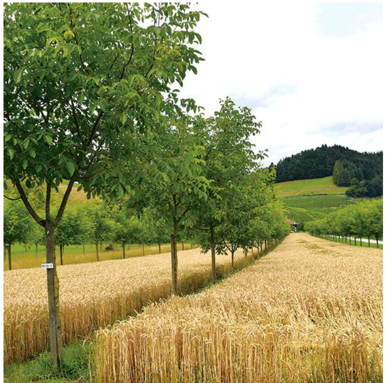
We make visible where erosion occurs, runoff is accelerated or retention areas are lacking, and where targeted measures for the development of sponge landscapes have the greatest effect.
Instead of blanket guidelines, we analyze landscapes. location-specific, topographically and usage-dependent.
This makes landscape management plannable, effective and professionally justifiable – for stable soils, stored water and resilient sponge landscapes.
Your advantage
- Identification of erosion and runoff risks
as a basis for effective sponge landscapes - Analysis of waterways and retention potentials
for targeted water retention in the area - Location-adapted decision-making criteria
for soil stability, water storage and use - Differentiated landscape management
instead of blanket measures without effect
as a basis for effective sponge landscapes
for targeted water retention in the area
for soil stability, water storage and use
instead of blanket measures without effect

